Pages

Friday, June 6, 2014

Cristo Rei, Dili Timor-Leste

Date: 6 June 2014
Points of interest: Historical, views of Dili, commemorates the resurrection of Christ
Difficulty rating: 0.5

A change of pace for this post. Instead of a cold Canberra winter hill top, I visited the Cristo Rei in hot tropical Dili, Timor-Leste.

The Cristo Rei is a statue of Jesus located atop a globe in Dili, East Timor. The statue was officially unveiled by Suharto in 1996 as a gift from the Indonesian government to the people of East Timor, which was at the time still a province. The statue is one of the main tourist attractions in East Timor. You can find out more at Wikipedia.

Along the steps up to the statue, there are alcoves containing embossed brass panels retelling Christ's death and culminating at the top with Christ's resurrection. The inscriptions are in Indonesian and English.

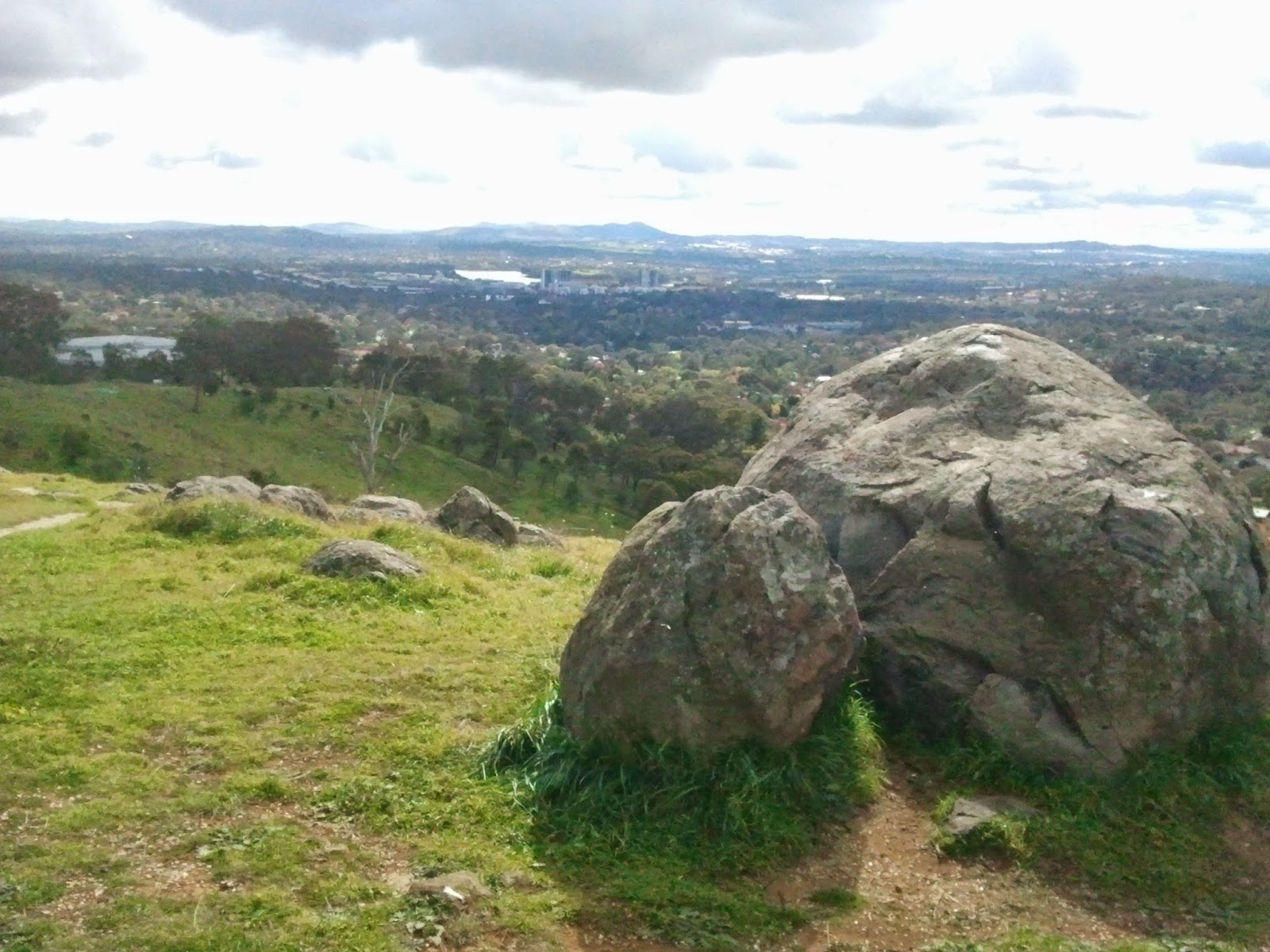
The views at the top are magnificent. The statue is on a peninsula, so that you can see Dili on one side, and a popular swimming beach on the other side, which in the local vernacular is referred to as Jesus' backside. 

Workmen were constructing steps down to this pristine beach, which I imagine can be enjoyed by people visiting starting from next month. 

When I came down the hill around 10am, there had only been a handful of visitors -- so there were no taxis. One of the friendly caretakers took me on his motor bike closer towards Dili, which was nice of him. After a bit of wait, taxis started arriving. The one I took picked up other passengers along the way, which seems totally acceptable in Dili and ended up seeing a little bit more of Dili town. I tried to claim a reduction in my fare, given that he got extra revenue for the trip, but alas, to no avail.

Unfortunately, as I was the only visitor at the top at the time, and still not having mastered a selfie using my mobile phone, I do not have a picture of myself at Cristo Rei. You will just have to take it on trust that I was the one who took these pictures!


View of Dili

Beach at the Dili side of Cristo Rei

A popular beach on the other side.


Tuesday, May 13, 2014

#12 MC-Painter

Date: 11 May 2014
Points of Interest: 360 degree views, community revegetation project
Difficulty rating: 1

The first trig station visited in north Canberra!

Originally called Round Hill, Mount Painter has excellent 360 views covering Black Mountain, the Cook suburb, Canberra CBD, Molonglo Valley, Canberra Arboretum and Woden Valley in the distance.

Quite a popular hill, with a well-formed path to the quadripod. Observed a couple of families with young children walking up. I took a more direct route up the hill, but followed the path down.

Enjoyed the views at the top while eating my customary piece of fruit.

There is a community-run revegetation project, and signs of the project can be seen in many areas of the hill.


Looking towards the Arboretum

The CBD in the background

Autumn colours in Cook

Contemplating the serenity of the view


Saturday, April 19, 2014

#11 MC-Melrose

Date: 19 April 2014
Points of Interest: A little bit off the beaten path, burnt trees, sweeping views of the Tuggeranong Valley
Difficulty rating: 1.5

This trig station is a little bit away from Canberra suburbs and is less accessible than usual. Access is via the Old Tuggeranong Road off Monaro Highway. However, as this road is only open for authorised vehicles, I had to walk around 20 minutes to get near the trig station.

There is no track to the trig station, and requires climbing over a fence to reach it. It is not a steep hill, but at the trig station you will be rewarded by sweeping views of the Tuggeranong Valley and the nearby Calwell suburb. I think I can see Gowrie (our suburb), which suggests that I should be able to see this quadripod from Gowrie (with a telescope?).

There is a single large house (manor?) along Old Tuggeranong Road visible from the trig station, which appears well tended. It may have been previously a sheep station or farm, but I did not see any stock. Wonder who lives there (noting that there is no public vehicular access to this road)? After a little bit of googling, have found out that this is a private property most recently sold for $2.3m (see pictures here, and a local news article)

Continuing to enjoy exploring areas of Canberra that I have not visited before as part of this quadripod mission! Ceri raised the question of whether all the quadripods are on public land and publicly accessible -- if not, it will make fully accomplishing the mission a little bit more challenging.


Climbed over this fence. The quadripod is straight ahead.


New gum tree.

Gowrie is somewhere in the background.

View of Tuggeranong Valley.

Tuesday, March 25, 2014

#10 MC-Oakey

Date: 22 March 2014
Points of Interest: Mature gum trees, expansive views, cockatoos and other birds
Difficulty rating: 1

Right in the middle of the Woden Valley. Although not a tall hill, the views are quite panoramic, including taking in the Molonglo valley, up the Tuggeranong Parkway, Mount Taylor and Black Mountain Tower. It was misty earlier on my walk, making some of the views more moody although hard to capture on the mobile phone.

There were quite a few walkers, dogs and even a cyclist when I went up around 9am. It appears quite popular, probably because of its proximity to surrounding suburbs.

There is a significant electricity distribution station at the foot of the hill, and a communication tower at the top as well as a large water reservoir.

Another solo walk, so no selfie swinging on the quadripod, sorry.


Mount Taylor

Black Mountain Tower in the distance


View of the new Molonglo suburb development 

Saturday, March 8, 2014

#7 - Red Hill Lookout

Date: 8 Mar 2014
Points of Interest: Tourist site, great views, cafe
Difficulty rating: 0

Appearances aside, the Red Hill Lookout is not on the nose. On the contrary, it is a pleasant place for afternoon tea with excellent views of Canberra, although you do pay extra for the privilege.

Ceri and I enjoyed a coffee (tea for me) and shared a passion fruit - date cake on the way home from previously checking out the displays at the National Gallery.

On the hill conquest side of things, this is not strictly one of Canberra's trig stations -- but we will count it nevertheless. The actual Major Control marks are MC-Red Hill East and MC- Red Hill Ecce, and both are just a short drive down and are only a few steps away from the road. Neither of these are quadripods, so decided to ignore them.


#8 MC-Stanley

Date: 9 Mar 2014
Points of Interest: Pine forest, communication towers
Difficulty rating: 1.5


Access from Long Gully Road along Isaacs Ridge. Lots of trails through the pine forest. Popular with communication towers at the top, understandably so as Isaacs Ridge is strategically located. Views to Woden Valley on one side, Symonston and towards Queanbeyan on the other side. And views of Lake Burley Griffin and the CBD towards the end of Isaacs Ridge.

Unfortunately MC-Stanley is not a quadripod -- just the yellow posts. As this was a solo walk, and I have not yet developed selfie skills, there are no pose shots. In any case, the yellow posts were on the other side of a wire fence and unusually, not accessible.


 Looking towards Queanbeyan.


 View of a quarry in Symonston.

View of Woden

Wednesday, March 5, 2014

#6 MC-Champion

Date: 2 March 2014
Points of interest: In a suburban park, not a quadripod
Difficulty rating: 0

I have been relying on the ACT survey instruments map to identify where the trig stations are. The trig stations are categorised as Major Control (MC) marks. MC-Champion appears as one of these supposed trig stations.

But as you can see from the photo below, it is not a quadripod, but instead consists of the yellow markers more typically used for the Sectional Control (SC) marks. But we will still tick it off the list, even though we could drive almost right to the spot in a neighbourhood park! And I will put in a note to ask the map administrators to clarify the relationship between MC marks and trig stations and quadripods.

Great pose, Amy!